20 Peaks
in Lefka Ori
Preparation for 55 Peaks Project in Crete
AUGUST 16, 2026 | ANOPOLI, CRETE | 14 MIN
AUGUST 16, 2026 | ANOPOLI, CRETE | 14 MIN
20 Peaks in Lefka Ori
Preparation for 55 Peaks Project
Apparently, there are 55 peaks in the White Mountains higher than 2,000 meters. Since I’d long planned to climb them all, over the last two days—as part of my fitness and logistical preparation—I climbed 20 of them. Roughly 20, because it’s difficult to give an exact number. Because what exactly is a summit?


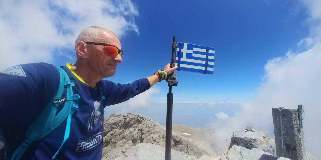
Apparently, there are 55 peaks in the White Mountains higher than 2,000 meters. Since I'd long planned to climb them all, over the last two days—as part of my fitness and logistical preparation—I climbed 20 of them. Roughly 20, because it's difficult to give an exact number. Because what exactly is a peak?
On Mount Olympus—where the idea of the 55 Peaks was born—the situation is easier because the peaks are arranged in ranges. Therefore, if we traverse the entire range to the last—the extreme peak higher than 2,000 meters, we are certain that we have also climbed all the peaks and mounds along the way. There are no mountain ranges in Crete; all the peaks of the White Mountains are scattered chaotically over a certain area, and some of the peaks higher than 2,000 meters rise, for example, in the middle of a valley. So what must the difference in altitude between such a peak and the highest pass nearby be for it to be considered a summit? Whatever the case, during my two days of hiking, I saw numerous peaks along my route that were certainly higher than 2,000 meters, yet they aren’t on any map.
Start in Anopoli
I started in Anopoli and, through the village of Aradena and the Krousia clearing, headed for the first peak – Zaranokefala. In such an attempt, the beginning is always the most difficult, because from the base of the mountains you have to climb to a 2,000-meter peak. In this case, the initial elevation difference was over 1,400 meters. After that, the elevation differences between the individual peaks weren’t significant, never exceeding 300 meters.
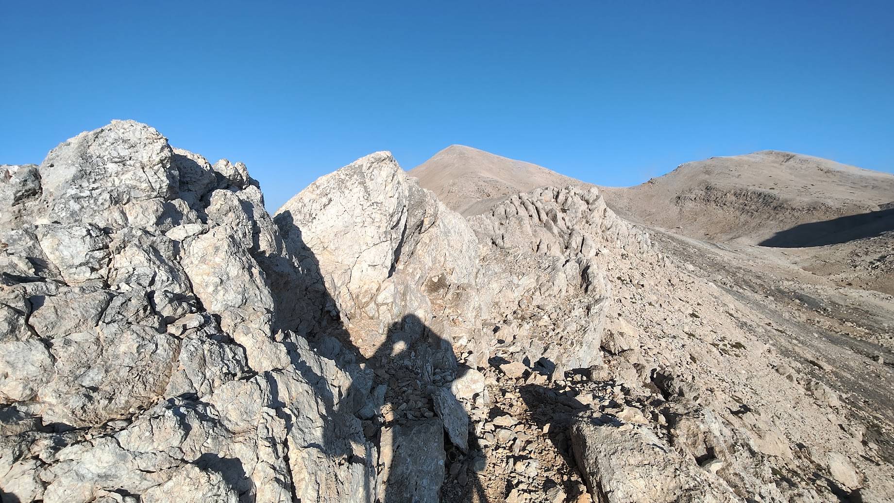
A relatively comfortable path leads to the base of Zaranokefala. Beyond that, of course, there’s no path – you simply follow the shortest (easiest) possible path connecting the individual peaks (avoiding, of course, the various rock crevices and round sinkholes that abound here). The ascents and descents aren’t particularly steep either; only twice, right near the summits, I encountered almost vertical rock formations that required short and relatively easy scrambles. The ground was also surprisingly easy for the most part. Virtually nothing grows at this altitude, so prickly plants are eliminated. There are plenty of loose, small rocks, but this isn’t a problem on the ascents, while on the descents I was able to control my sliding along with the rocks (as it wasn’t too steep). In several places, I found smooth, large stone slabs with excellent grip, which are great for walking (with good shoes, of course), even on slightly steeper terrain.
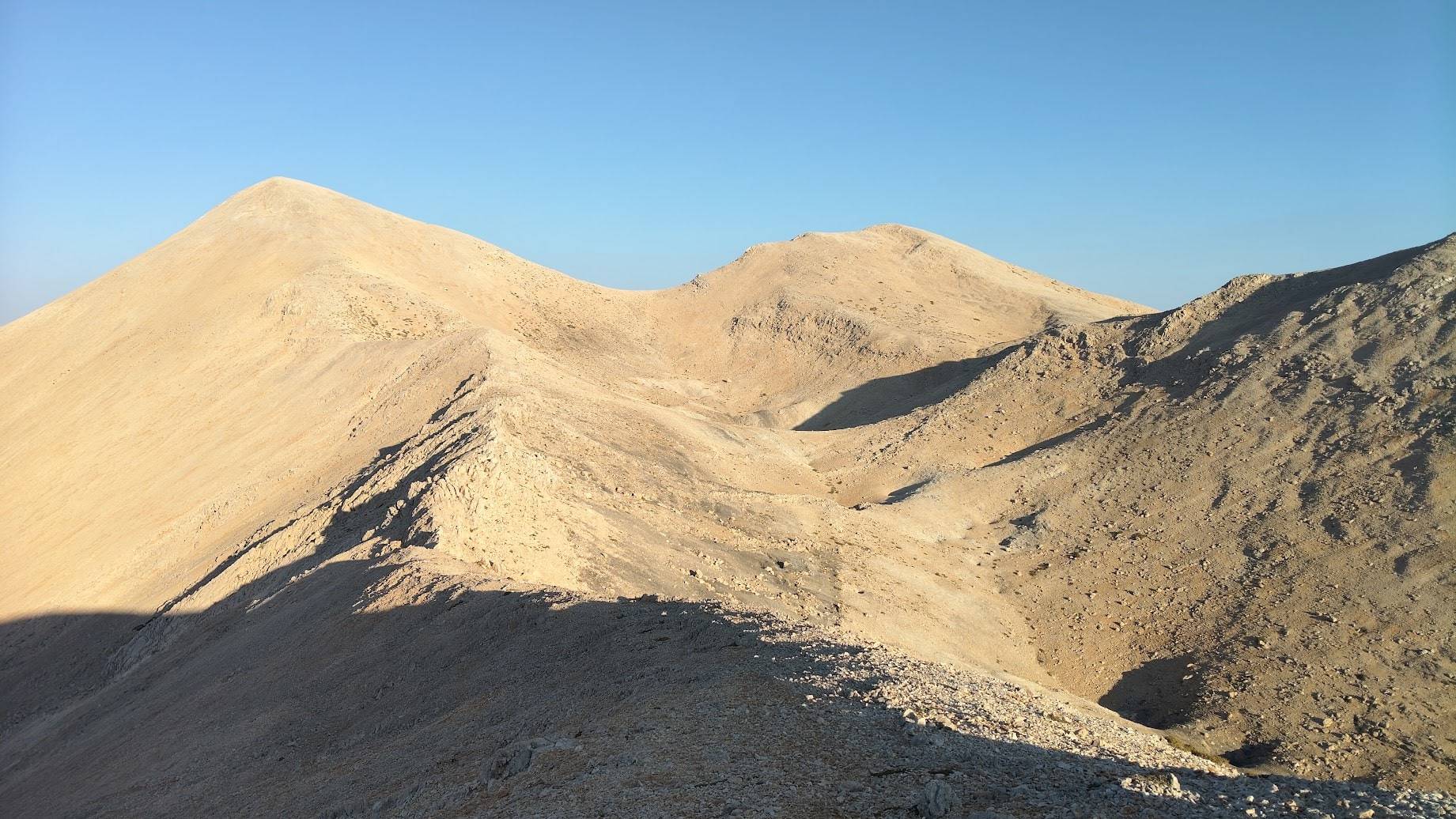
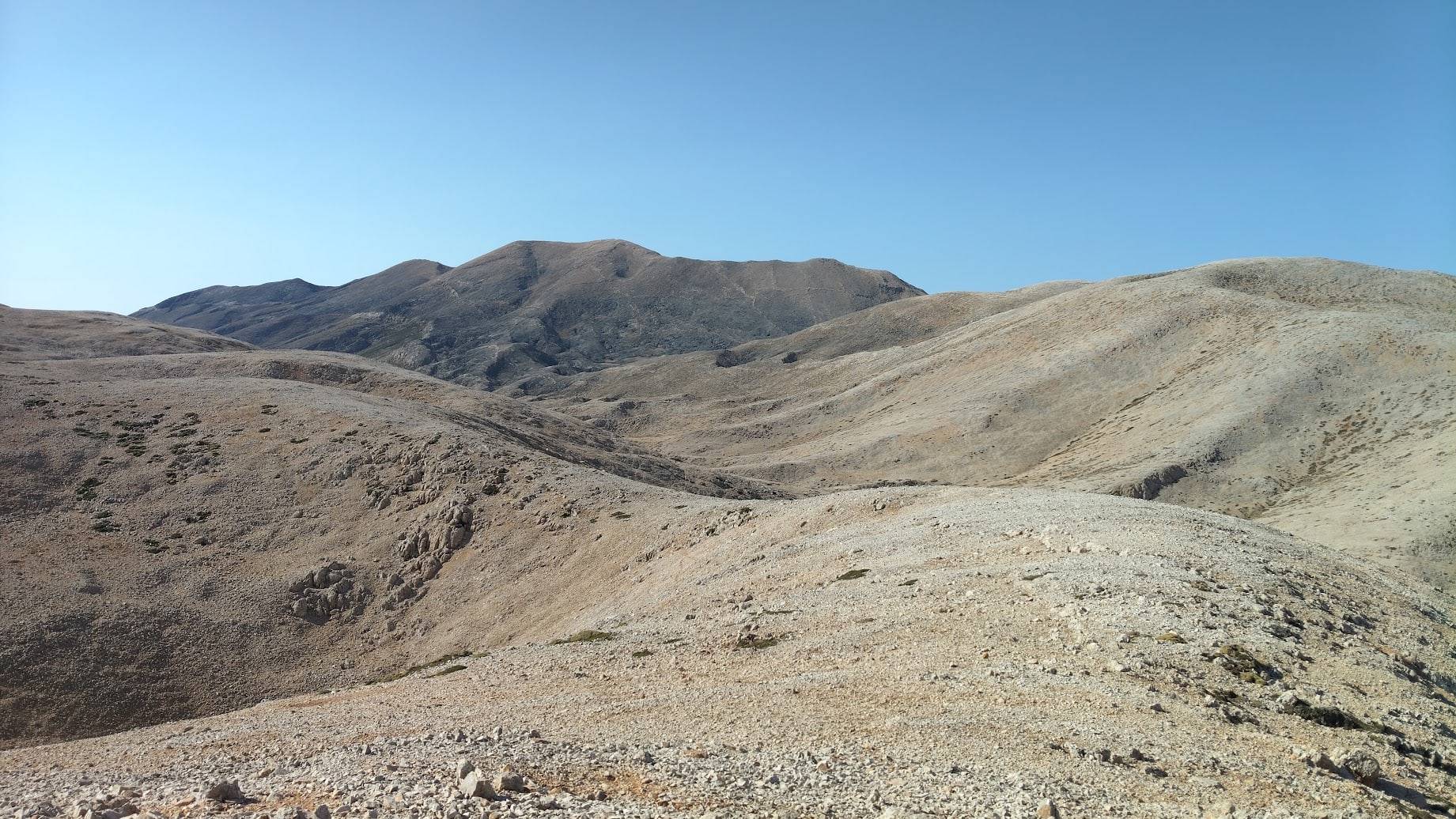
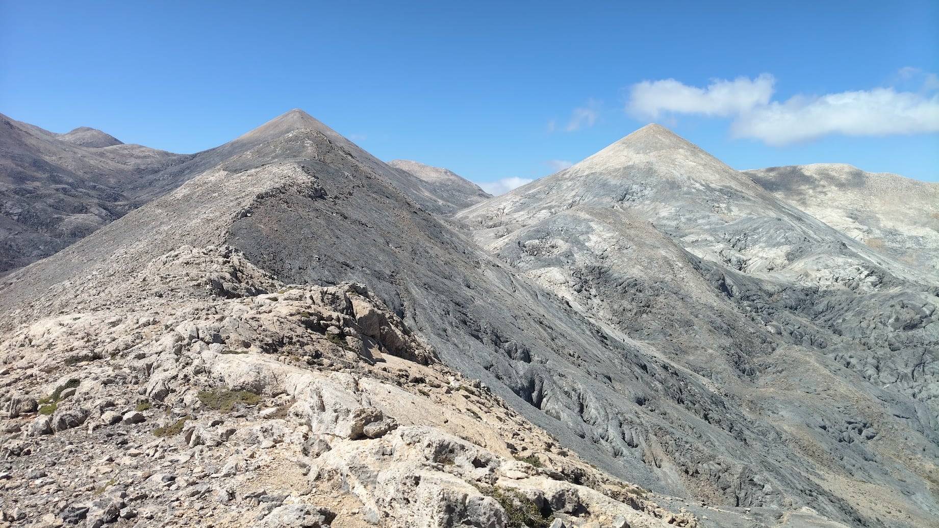
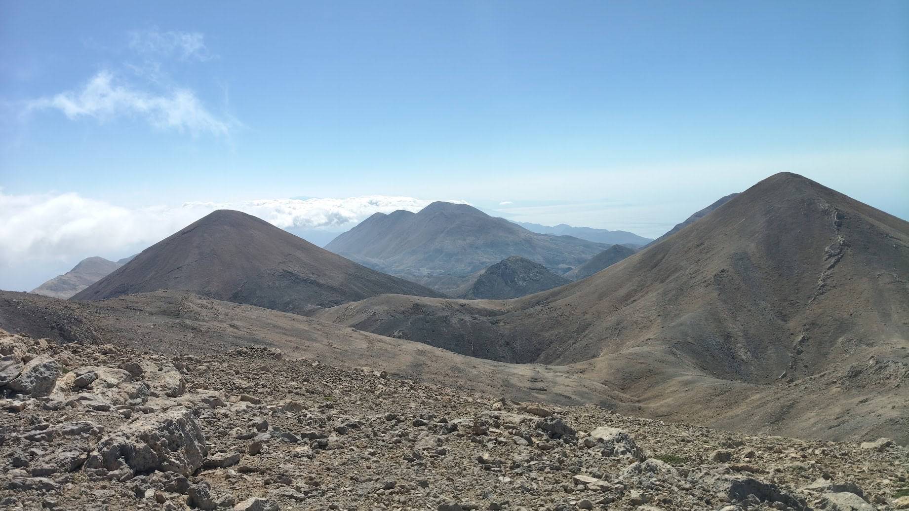
Two peaks of Zaranokefala: Zaranokefala I (2129 m, the dark peak on the left) and Zaranokefala II (2124 m, in the center foreground). In the background, the shape of Volakias Peak (2117 m) is visible on the other side of the Samaria Gorge. As you can see in the photo, the beginning of the adventure among the 55 peaks is not difficult.
how to find these peaks
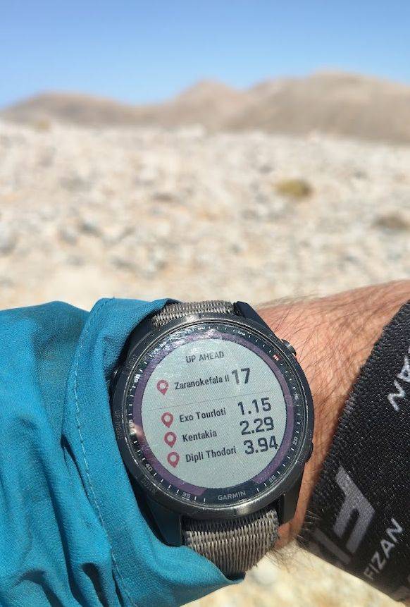
Due to the chaotic distribution of all the peaks and their sheer number, orienting yourself in the terrain is not easy, even for a hiker with only a passing familiarity with the local onomastics. I had my route downloaded to my watch and smartphone as a GPX track. I followed the designated line, although I treated it purely as a guide, as I often found myself walking parallel to the route drawn in the app to avoid dangerous sections or small cliffs. The best strategy is not to think about the entire route, but to focus solely on the next peak. Identifying only the closest peak was always very easy. Defining the peaks as waypoints beforehand proved to be a good decision – the watch constantly displays the distance between me and the four closest peaks.
which route is the best?
Through the two peaks of Zaranokefala, Exo Tourlui, and Kentakia, I progressed along the southern edge of the mountains towards Dipli Theodori (which undoubtedly has more than two peaks) and the majestic Trocharis. That day, I still had plans to climb Pachnes and Mavri Gourgoutha, but I realized it was too late to reach the shelter in Katsiveli before nightfall. I didn’t want to hike in the dark, so I decided to forgo these two highest peaks (I knew them well from other hikes) and traverse to the familiar path to the trail junction in Rusies. And here, a classic mountain problem arose. I was at the top of Trocharis, with magnificent views in all directions, and could clearly see the dirt road leading to Mavros Charakas and the Sfakia Sky Marathon route. However, the vast slopes of Trocharis and a sort of hollow, black-hole-filled basin separated me from that road. I would have to descend deeply and then climb back up again. So I decided to traverse left, towards the summit of Gavala. Along the way, I passed two smaller peaks; it was a sort of detour, but I lost significantly less altitude. Once again, it turned out that the best route in the mountains isn’t necessarily the shortest. I managed to reach Katsiveli for the night shortly after sunset.
the water, the heat and the wind
Katsiveli has the advantage of having, in addition to a primitive tourist shelter set up in a former shepherd’s hut (mitato), water. And water in these exceptionally dry mountains is crucial to the success of any expedition. You can’t take too much of it because it’s heavy, and the weight slows down the pace. Therefore, you spend more time on the road, need more water, and so on, ad infinitum. Therefore, you have to rely on (few) sources or leave your own cache of essential fluids in advance.
Katsiveli also revealed another, perhaps the greatest, difficulty of traveling in these mountains. On the first day, starting from Anopoli, I walked for many hours in the heat (up to approximately 1,800 meters above sea level). It was around 30 degrees Celsius and a cloudless sky, which doesn’t make walking easier. On the second day, starting from Katsiveli at 1,900 meters above sea level, it was 11 degrees Celsius and a light wind that intensified throughout the day. While the heat was the main problem on the first day, the cold and wind became the main problem on the second.
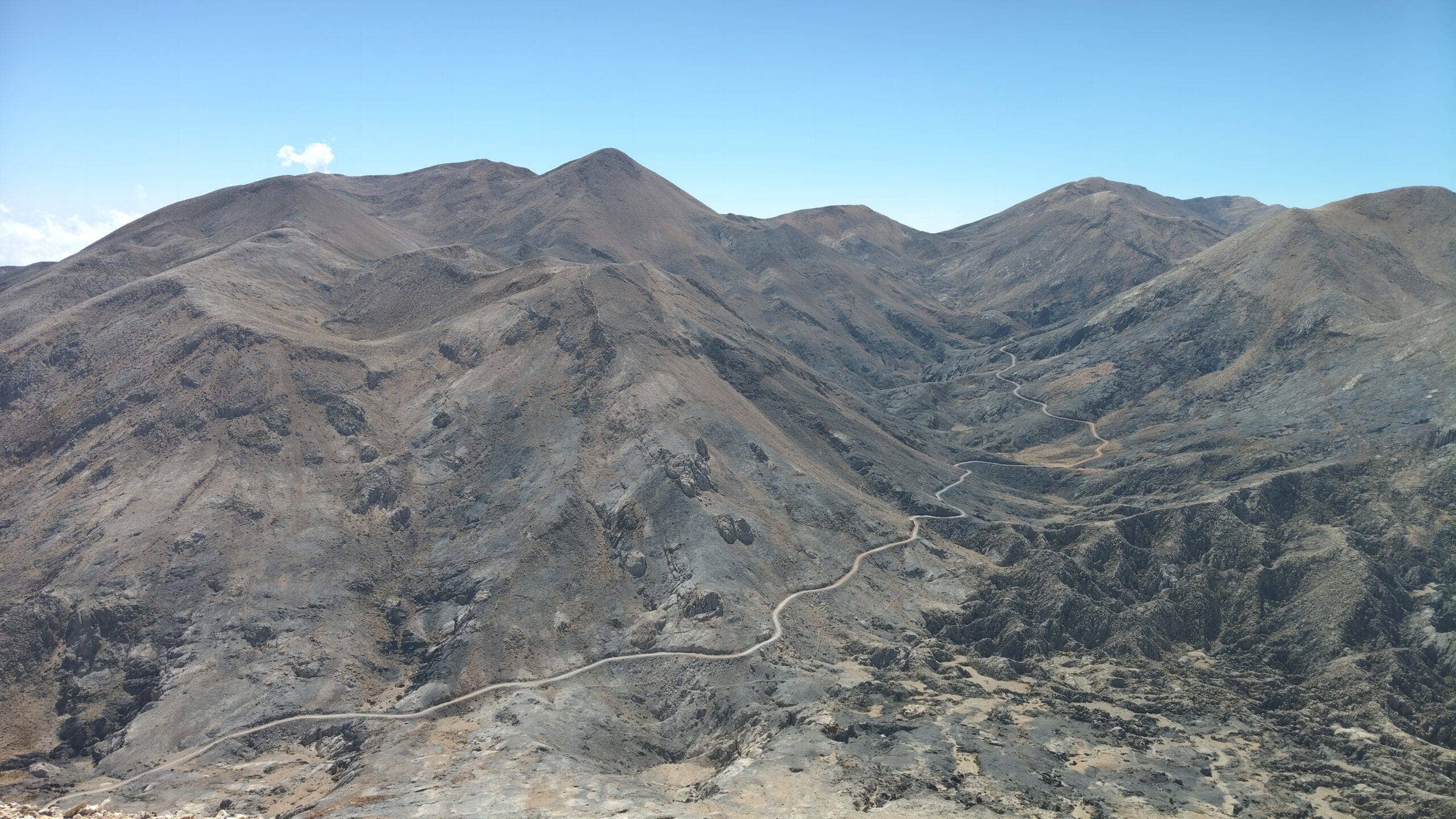
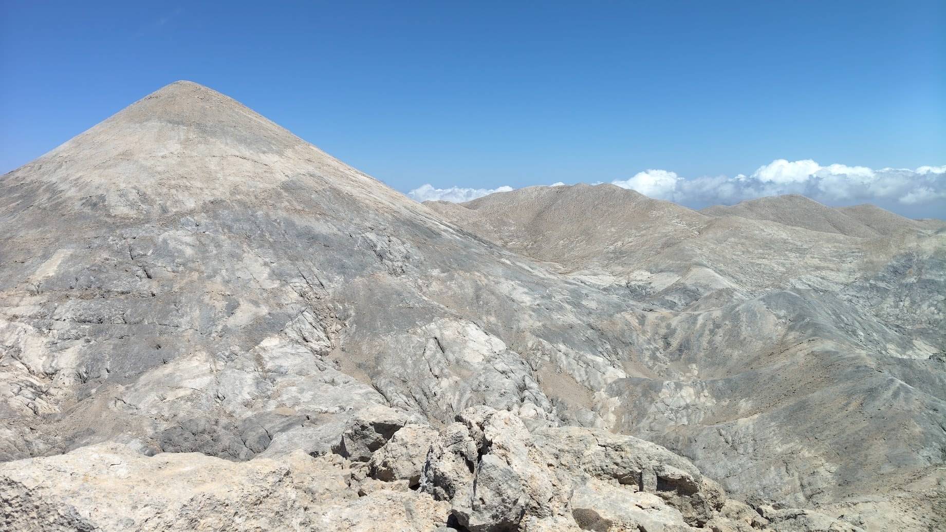
In the very center, Trocharis (2401 m) appears to be the highest in this photo. To its left is Dipli Theodori (2380 m), and second to its right is Pachnes (2453 m). The dirt road to Mavros Charakas is clearly visible in the photo, and if you look closely, you can also see the old road – the kalderimi – below the road. The difference in height between the Trocharis peak and the depression below and the dirt road is also clearly visible.
Want to see the remains of the old kaderimi below the dirt road? Download the full-resolution image (3.5 MB)
I slowly made my way across the long and somewhat challenging Svourichti peak towards three pyramids, very characteristic of the northeastern part of Lefka Ori: Mesa Soros, Grios Soros, and Askifiotiko Soros. Due to the increasing wind, I decided to skip the last Soros, traversing only its slopes and heading towards the next peak on my route – Pavlias.
valleys, not peaks
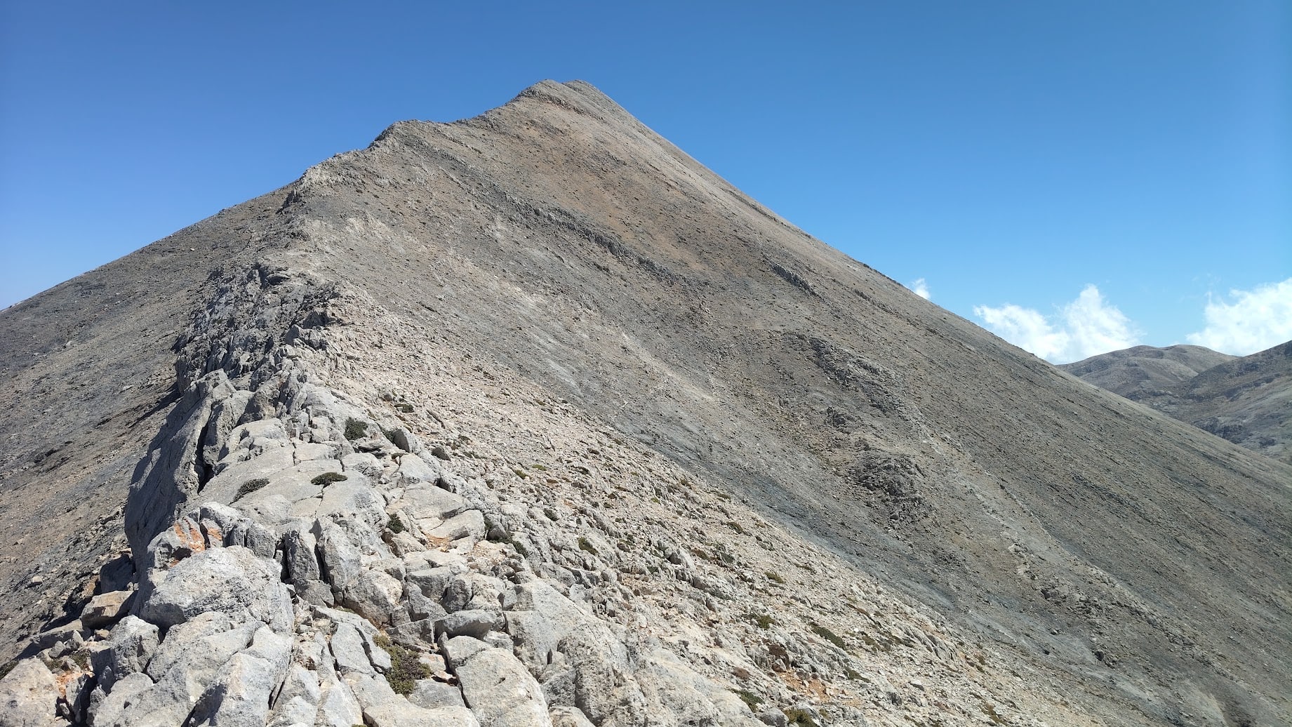
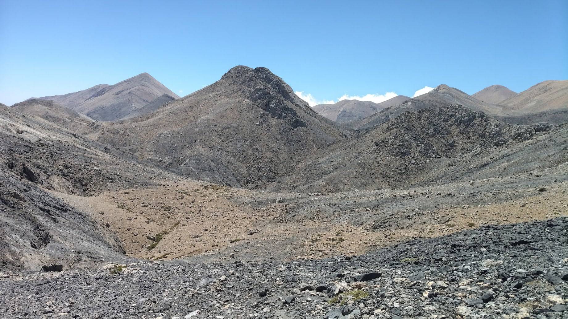
Paradoxically, this traverse proved very interesting, I would even say more interesting than the peaks. During my two-day expedition, I realized that the most interesting things in the White Mountains happen in the “valleys,” not the peaks. Of course, the peaks offer expansive, breathtaking views, but they are actually quite easy. It’s in all these depressions between the peaks that there are countless crevasses, deep depressions with razor-sharp rocks that you have to avoid while searching for the right route, repeatedly backtracking because the crevasse is too wide to jump over. The depression where the lake should actually be (but these are dolomites, so any water soaks in like a sponge) is too deep, and it’s best to go around it. I even think a hypothetical route bypassing all the peaks and leading through the “valleys” of the White Mountains would be more difficult and time-consuming. Interestingly, some of these peaks look just as impressive when viewed from their base, rather than from another peak.
walking on the edge
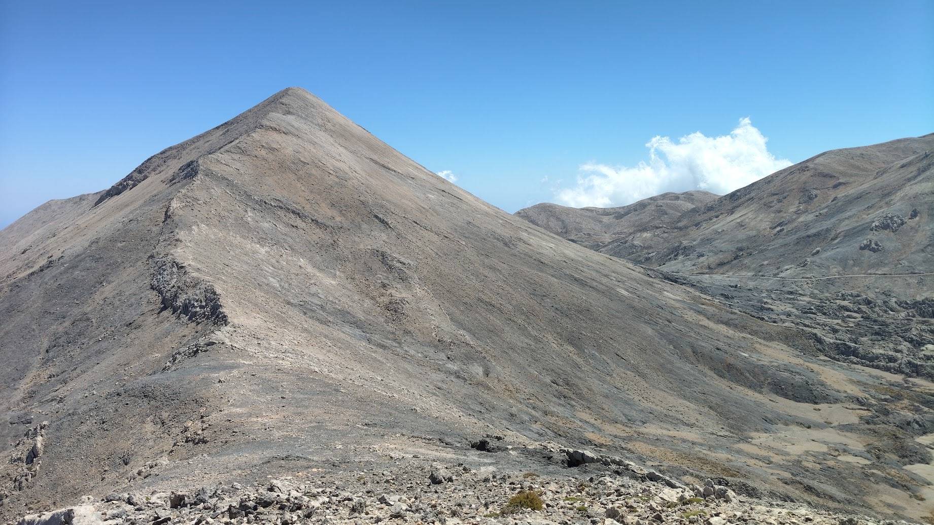
After Pavlias, my direction of travel changed to almost due south, so I had a strong wind directly at my back. Still not ideal, but much better than having the wind in my face. There were three incredibly interesting peaks ahead of me: Gonismata, with a short section of real rock at the top that required some scrambling, and the long and surprisingly narrow Kakuovoli, with an endless number of pre-summits. The approach to Kakuvoli is long and therefore not very steep, but it has very steep slopes on both sides, so the feeling of floating was overwhelming. It’s one of those peaks you have to walk from end to end; there’s no escape route to the right or left. I also had a constant, incredible view of a massive depression on the right, with the Sfakia Sky Marathon trail clearly visible – a clear sign that I was approaching civilization. After Dochi peak, I descended into the valleys and reached Anopoli on a real, marked path (thanks to the Arkalos Team).
The main conclusion from my two-day trip is somewhat surprising: the 55 Peaks on Crete project is impossible! Not because it's too difficult, but because there aren't 55 peaks higher than 2,000 meters, but at least 100!
the most amazing experience
The greatest advantage of this route is undoubtedly experiencing Madara in a most surprising way – viewing the entire mountain range from a unique perspective, accessible only from this type of route, not from commonly accessible paths. Pachnes finally looks mighty from the Zaranokefali side, revealing itself as a large mountain, rather than as an inconspicuous peak barely visible from the Rusies side. Mount Kakuvoli, the most boring mountain from the Sfakia Sky Marathon route, reveals its truly exciting face when viewed from the north, while the best view of the almost perfect pyramids – Grias Soros and Askifiotiko Soros – is undoubtedly from the south, from the summit of Pavlias! You just have to climb it first.
The 55 Peaks on Crete project is still in progress.
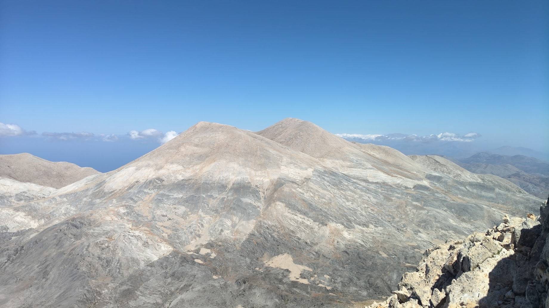
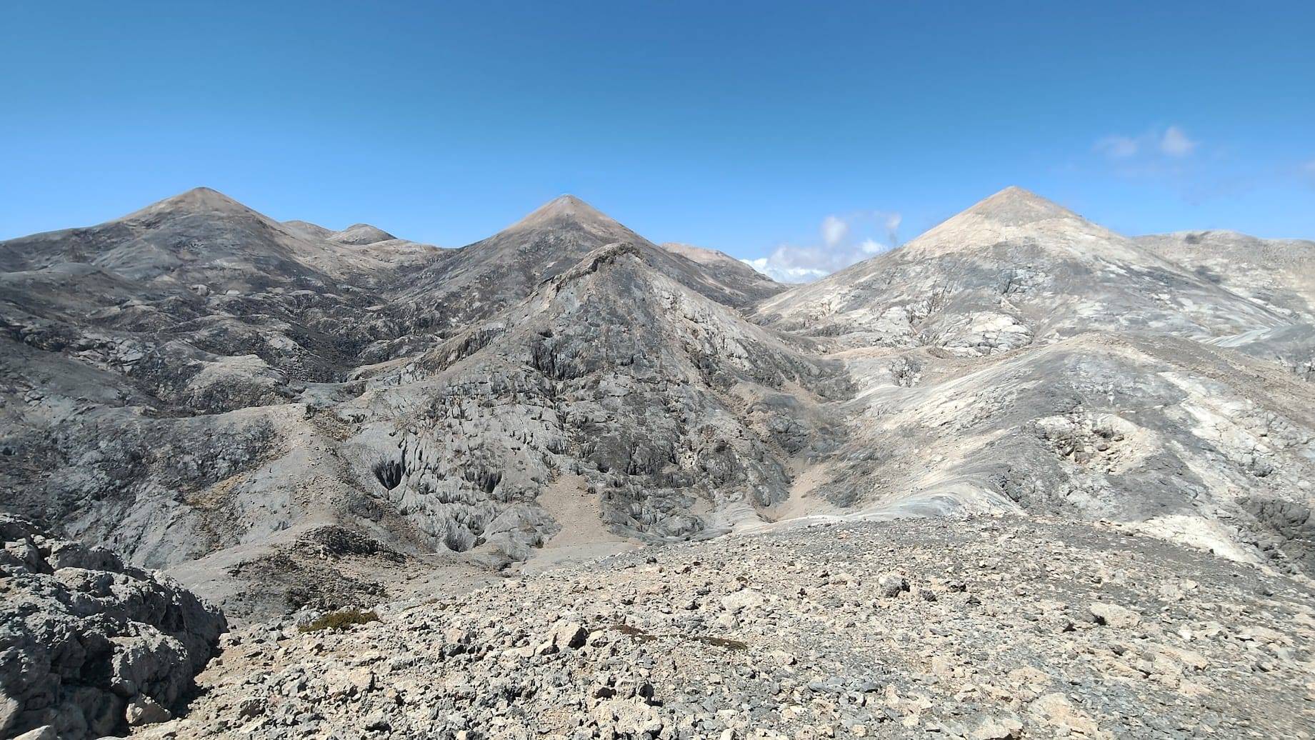
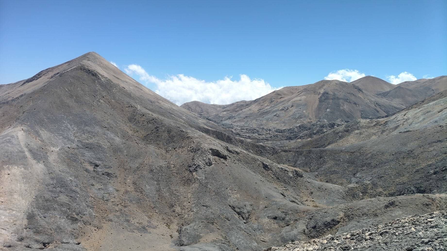
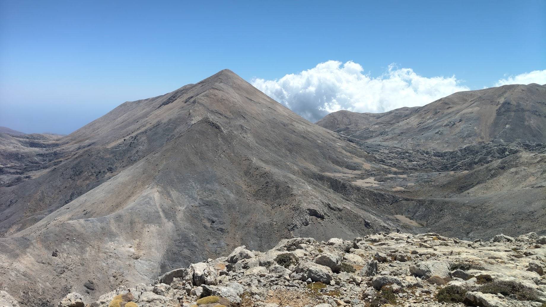
Three pyramids: Mesa Soros (2347, first from the left), Grias Soros (2313, center), and Askifiotiko Soros (2213, right). In the background, behind Mesa Soros, are the two peaks of Svourichti (2356). To the right of Grias Soros is the peak of Agio Pneuma (2262). In the foreground, before Grios Soros, are two peaks: Pavlias (2065, with a ridge of rocks at the top) and Goniasmata (2015, the closest one). View from the approach to Kakovoli (2214).
Appendix: What is a peak?
more peaks, more mountains

MORE POSTS ABOUT CRETE
YOU MAY ALSO LIKE

Phaistos Disk. The messenger of the forgotten world
READ MORE

Glistrokoumaria - Greek Strawberry Tree
READ MORE

The Path of Your Dreams. From Chora Sfakion to Elafonisi Beach
READ MORE